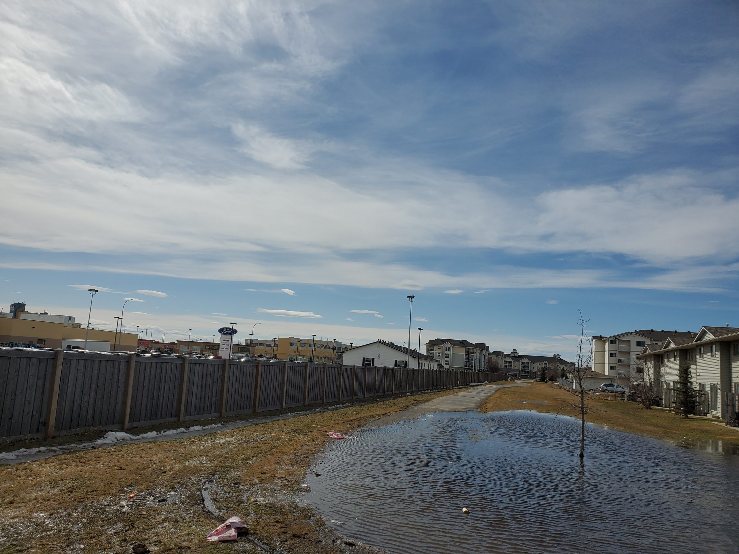
If you’re looking forward to a white Christmas, you might be out of luck as Grande Prairie is currently experiencing its third-driest November ever with just two and a half centimetres of snowfall all month.
According to Alysa Pederson, Warning Preparedness Meteorologist for Alberta, the Grande Prairie region is experiencing the second driest Fall in 90 years. She says the lack of precipitation is due to a “blocking pattern” preventing Pacific storm systems from penetrating the prairies this winter.
“It’s not just been November it’s been the entire Fall,” she says. “We’ve been in what’s called an upper ridge, which is essentially a dome of warmer air that has been sitting over western North America periodically.”
“We’ve had storms go to the north to the Northwest Territories, and south to the states, but not really through our area.”
Pederson explains that the jet stream that typically carries Pacific storms has gone to the north, over Alberta, where it usually travels through, bringing with it colder temperatures and precipitation.
“We have a jetstream that’s essentially a waterslide of air, that blows across the country, and it kind of meanders north and then south, through the winter,” she says. “That’s essentially where our storms come from is the Pacific, they kind of ride that jet stream.”
“In our case for the months of fall, it’s gone to the north, over us, which means the storms ride it and go to the north over us, instead of coming through and developing a big low-pressure system in Alberta which is what brings the rain and colder temperatures.”
Additionally, Pederson says despite many placing the warm temperature blame on El Niño, the high temperatures are seemingly yet to come, as temperatures have not quite reached their expected peak in the Pacific.
“Fall weather usually isn’t attributed to El Niño, so we have El Niño, yeah it’s strengthening, but the peak of El Niño, the peak of the temperatures in the equatorial Pacific looks to be about December.”
“What we’re going to see is that’s going to have an impact on December, January, February, and maybe even into March and April.”
Pederson adds that El Niño will serve to reinforce the same weather pattern that has been the trend this fall, so drier than normal conditions should be expected for December.
Grande Prairie only saw one day in November with a daily high below zero and while recent below-zero temperatures in the city have left some speculating on whether the warmer-than-usual beginning of winter could be over, Pederson explains the low temperatures are merely a result of temporary Arctic winds blowing down through the prairies.
“We’ve had what’s called a surface high-pressure ridge that moved into the prairies from the Arctic, so it has brought northerly winds and a cooling kind of cold front, but it hasn’t been a strong one.”
According to Pederson, Grande Prairie residents hoping for a white Christmas might not have their wish granted, as current trends suggest minimal precipitation heading into the holidays.
“The percent chance based off of the last 25 years is pretty much an 84 percent chance of getting a white Christmas, now this year, I would guess that our likelihood is a bit lower than that given the fact that there’s no snow on the ground, and you’ve only had two and a half centimetres so far.”
“I would say in the next couple weeks we would need something pretty substantial to come in and dump snow in the area in the coming weeks, so unless we get that, nothing looks like it’s going to be here in the next week or so.”
Pederson says currently, there is no indication of any significant snow for the first week of December, and November will officially go down in the record books as the third-driest in Grande Prairie’s recorded history.


